
I dreamt about the rabbit.
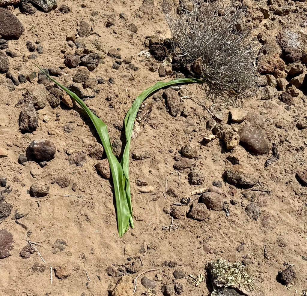
The large jackrabbit to be exact. The one who has been mowing down my corn, chomping off the recently sprouted stalks, and strewing leaves across the rocky soil. I sprinkled wolf piss around the base of the rows, and it’s slowed him down, but I don’t trust the solution to last. Today, the corn and squash/melon patch will be enclosed with small animal fencing. I don’t mind sharing, but I have my limits.

In the dream, there were footprints everywhere. Rabbit footprints on the couch, the bed, the sheets. Across the floor. A trail of dusty tracks, as if he’d even moved into the house.
The garden is part of a community project for sustainable living. The ultimate goal, spearheaded by my neighbors, is to have a network of at least 26 vegetable gardens in our tiny pueblo of San Juanico. While in college, I’d had a backyard produce garden that provided for six of my neighbors, so a program of sharing what is grown feels right at home.
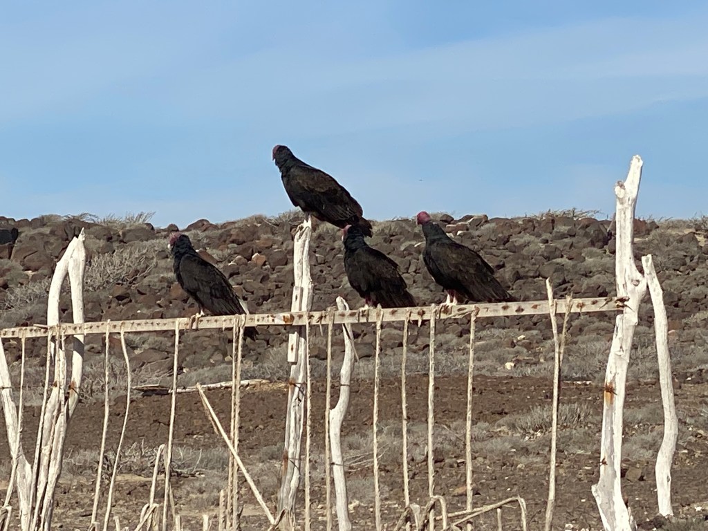
Early in the afternoon, I had removed the netting from the vegetable bins to allow the birds to help me deal with an invasion of cutworms that were gnawing their way through the carrots and lettuce. The birds must have been watching me, the black-chinned sparrows and the cactus wrens descended onto the freshly turned earth as soon as I stepped away. Their small beaks made fast work of my refuse. Worms a delicacy in the dry arid desert.
The dream startled me awake. My mind racing with thoughts of the rabbit, about the unprotected produce. The lure of lettuce. Enough so, I went out with flashlight at 3am, but no rabbit could be seen. The lettuce, of course, is already spent, so not really an issued. Bolted, and lifting its flowery heads to the sun. I’m waiting patiently to collect their seeds, which I’ll use in the fall for the next crop. But in my sleepy state, I imagined it vanished, like a 5-course meal and a very stuffed rabbit unsuccessfully trying to hop away.
Morning light, coffee in hand, I trudged outside to assess the damage. There was none. My dream had been for naught, or possibly a future warning? What my approach did do was to startle the feeders. Mr. and Mrs. Quail and a pair of tiny cactus wrens had taken to the bin to assist in pest control and continue the worm consumption. No food sources go untouched in the desert.
I found myself thinking about historically how man has moved into wild-lands, filled them with tasty treats – green crops and animal herds, like cattle and sheep – and then been furious, that the wild-life decides to feast on the buffet laid out before them. The wolves and coyotes, akin to kids in a candy store, delighting in such delicacies, and then poisoned or trapped or shot for doing what comes naturally.
My rabbit, well, he’s cute in a big-jackrabbit kind of way, and I have no intention of harming him, no matter the struggle over my garden. I’m just going to help him not be so teased. Or at least, I’m putting a more defensible barrier between my crops and his taste buds.


You must be logged in to post a comment.